Flash Flood Risk Remains Active Tonight; Storms Likely Every Day Through Next Monday
Woodstock Community News||2 min read
SUBHEAD: Rainfall rates could hit 2 to 3 inches per hour, with daily thunderstorm chances continuing through June 15
BYLINE: Woodstock Community News Staff
SOURCE: Woodstock Fire Department, GA Facebook Page, https://m.facebook.com/wfdga/posts/pfbid02khtiNYDi8B8J5btJXWTeuUna5sS7ABJKmfKjgWzWmbbhNNm9zzNg2ZpySS2xchGKl
---
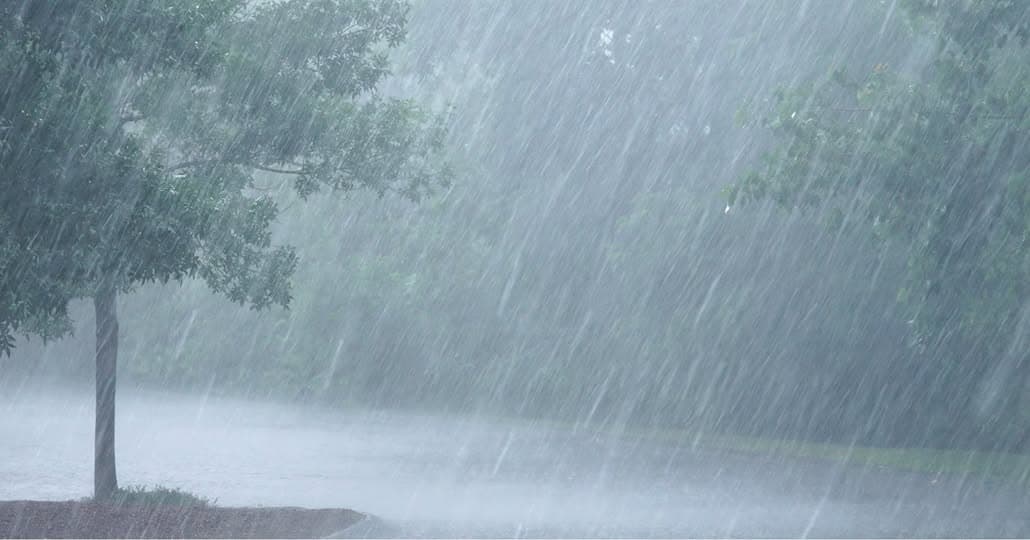
The Woodstock Fire Department is urging residents to stay alert through tonight after a hazardous weather outlook flagged north and central Georgia for dangerous flash flooding, and the threat doesn't end there. Daily thunderstorm chances are forecast to continue every day through Monday, June 15, making this one of the more unsettled weather stretches Cherokee County has seen this summer.
The immediate concern is training thunderstorms, a pattern in which successive storm cells repeatedly track over the same area rather than moving through quickly. The result is relentless rainfall on already-saturated ground, with localized rates that could exceed 2 to 3 inches per hour during the afternoon and evening hours. Drainage systems can't keep up. Water rises fast, and it rises in places that don't always look dangerous until it's too late.
Woodstock and Cherokee County fall squarely within the affected region. Low-lying roads, creek crossings, and areas near the Etowah River and its tributaries are especially vulnerable when storms stack up like this. If you commute through any of those areas tonight or in the days ahead, it's worth knowing your alternate routes before you need them.
The week ahead won't bring the same intensity, but it won't be quiet either. From Wednesday through Monday, individual storms could still produce heavy rain, gusty winds, and frequent lightning. Widespread severe weather isn't expected during that stretch, but anyone planning outdoor events, youth sports, construction work, or weekend activities across Cherokee County should build flexibility into those plans.
The Woodstock Fire Department routinely shares weather alerts through its Facebook page, serving as a frontline communications resource for city and county residents between official National Weather Service bulletins. The department's consistent guidance on flooding is worth taking seriously: never drive through a flooded roadway. Even shallow, fast-moving water can sweep a vehicle off the road, and in Cherokee County's rolling terrain, water that looks manageable can deepen within seconds.
If you encounter a flooded road, turn around and find another way. For ongoing updates, monitor the Woodstock Fire Department's Facebook page or the National Weather Service Atlanta office at weather.gov/ffc.
Share
Related
Woodstock City Council Approves Warehouse, Advances Budget and Clears Zoning Cases at May 18 Meeting
Based on the official minutes of the May 18, 2026, City Council meeting, the council approved a 92,500-square-foot warehouse project, passed six land use items and moved the FY2027 budget to a second reading.
Woodstock Community News Staff|

CCSD's Four-Person Communications Team Wins Five National Awards, Competing Against Districts Nationwide
The district's four-person communications team was recognized by the National School Public Relations Association for work ranging from a career pathways guide to a taxpayer return-on-investment infographic
Woodstock Community News Staff|
Red Oak Sanitation Adds FAQ Page as Woodstock Residents Sort Out New Garbage and Recycling Service
The city's new sanitation provider responds to resident questions with an online resource covering containers, billing, pickup schedules, and recycling options
Woodstock Community News Staff|

Cherokee County Student Athletes Strike Gold at State Special Olympics; Unified Basketball Team Earns Spot at USA Games in Minnesota
CCSD competitors claimed gold medals across cheer, soccer, swimming and track at Emory University, with the Unified Basketball Team set to compete in Minnesota on June 19
Woodstock Community News Staff|